
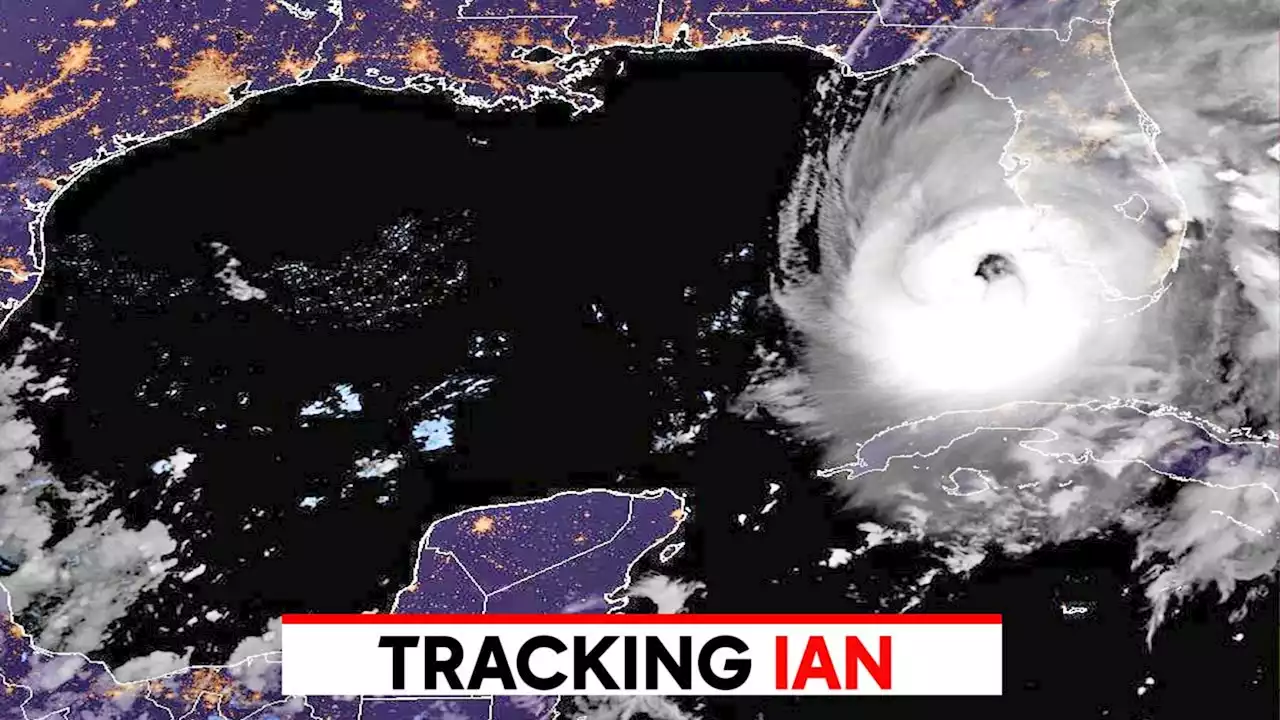
IAN DOWNGRADED: Although Ian is now a tropical storm, the system is still expected to produce strong winds, heavy rains and storm surge across portions of Florida, Georgia and the Carolinas.
At 5 a.m., the center of Hurricane Ian was located near latitude 28.0 North, longitude 80.9 West. Ian is moving toward the northeast at 8 mph , and a turn toward the north-northeast is expected later Thursday, followed by a turn toward the north and north-northwest with an increase in forward speed Friday and Friday night
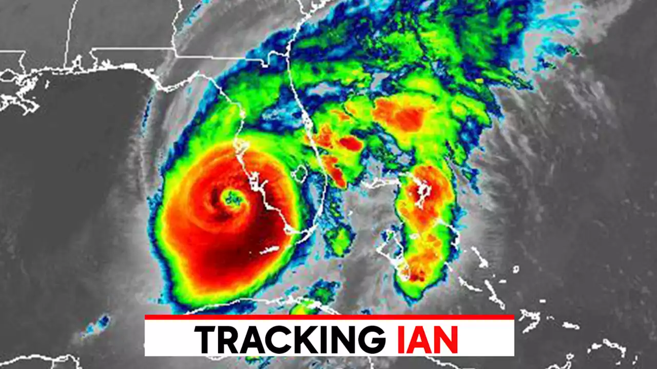
On the forecast track, the center of Ian is expected to move off the east-central coast of Florida later Thursday and then approach the coast of South Carolina on Friday. The center will move farther inland across the Carolinas Friday night and Saturday. Maximum sustained winds have decreased to near 65 mph with higher gusts. Some slight re-intensification is forecast, and Ian could be near hurricane strength when it approaches the coast of South Carolina on Friday. Weakening is expected Friday night and Saturday after Ian moves inland.
Tropical-storm-force winds extend outward up to 415 miles from the center. A WeatherFlow station at New Smyrna Beach recently reported a sustained wind of 61 mph and a gust to 77 mph .Middle of Longboat Key southward to Flamingo including Charlotte HarborA Tropical Storm Warning is in effect for:Lake OkeechobeeA Storm Surge Watch is in effect for:Copyright 2022 by WJXT News4JAX - All rights reserved.
Australia Latest News, Australia Headlines
Similar News:You can also read news stories similar to this one that we have collected from other news sources.
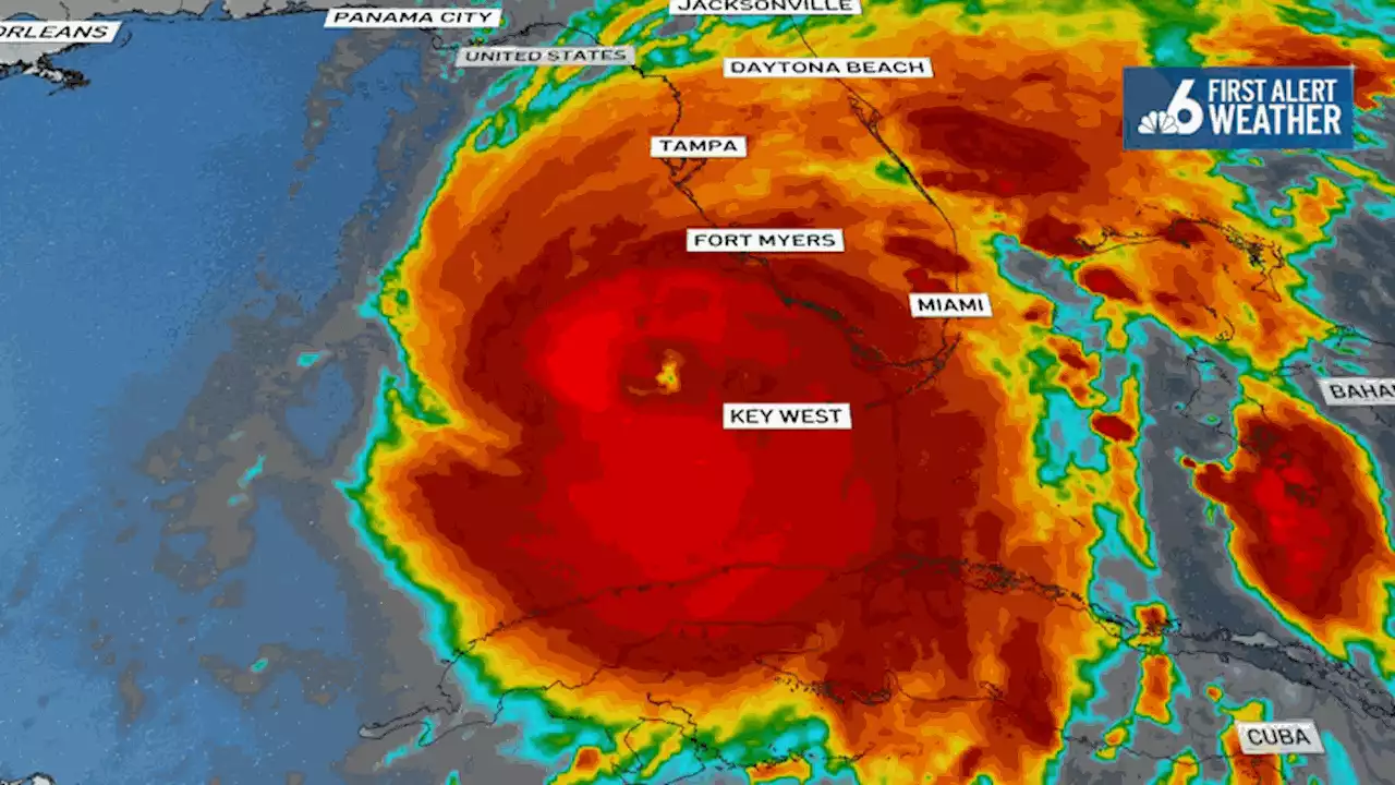
 Storm surge, tropical storm warnings continue for NE Florida coast as Category 3 Ian pushes NorthIan 11pm Tue Update: Cat 3 with winds of 120 mph. Tropical Storm and Storm Surge Warning continues for parts of the area Forecast cone has again shifted S & E Landfall near Ft. Myers becoming likely Local impacts Wed-Thu-Fri UPDATE:
Read more »
 Hurricane Ian latest path: Powerful Category 4 storm bearing down on FloridaHurricane Ian strengthened to a Category 4 storm early Wednesday, churning on a collision course with Florida over warm Gulf waters.
Read more »
 Hurricane Ian Barrels Toward Florida as Extremely Dangerous Category 4 StormFlorida’s Gulf Coast is bracing for impact from what’s being called a “life-threatening storm” as Hurricane Ian was expected to become a dangerous Category 4 hurricane before making landfall on Wednesday.
Read more »
![]() Tracking Hurricane Ian: Storm increases to Category 4 as it nears FloridaHurricane Ian intensified into an extremely dangerous Category 4 storm as it approached Florida and wind speeds have increased to nearly Category 5 levels.
Tracking Hurricane Ian: Storm increases to Category 4 as it nears FloridaHurricane Ian intensified into an extremely dangerous Category 4 storm as it approached Florida and wind speeds have increased to nearly Category 5 levels.
Read more »
 Hurricane Ian latest path: Winds near CAT 5 as storm approaches FloridaHurricane Ian's winds increased to 155 m.p.h. as the storm rapidly intensified ahead of landfall in Florida where catastrophic damage was feared from storm surge, winds and flooding.
Read more »