
New Harris County flood maps will be first in US to show more accurate risks for homes, businesses
Brett Coomer, Houston Chronicle / Staff photographerWhen Harris County debuts a massive overhaul of its floodplain maps later this year, the Houston area will be the first in the country to rely on a more accurate assessment of homes and businesses at risk. The update is a direct response to Hurricane Harvey, a storm so ferocious it forced the region to change its understanding of how much rainfall to plan for and which neighborhoods could flood.
FEMA's existing floodplain maps show communities their risk of fluvial, or river flooding, when a bayou, creek or lake overflows its banks and floods nearby structures. What they do not show is the risk of urban flooding, when intense rainfall overwhelms stormwater systems regardless of proximity to a bayou or other channel.
Harris County's effort to map urban flood risk is its own innovation in response to Harvey, which demonstrated the limitations of the existing models, said Ataul Hannan, planning division director at the Harris County Flood Control District.The new methodology likely is responsible for the process taking longer than expected.
The last update was a major effort that began in 2001 after Tropical Storm Allison. Preliminary maps were released in 2004. After a lengthy period of appeals and revisions, the maps were finalized in 2006 and went into effect the following year. After Harvey, some flooded property owners outside of the mapped floodplain were upset they were not told their true risk. Now, many likely will balk when they find out they have been added to the floodplain.
HCFCD develops the methodology and the models in consultation with FEMA. After that, FEMA is responsible for the process of updating the maps. After the preliminary maps come out, FEMA has an appeals process for property owners to argue against their inclusion in the floodplain, which experts say is important since the models used to draw the maps are not irrefutable.
Australia Latest News, Australia Headlines
Similar News:You can also read news stories similar to this one that we have collected from other news sources.
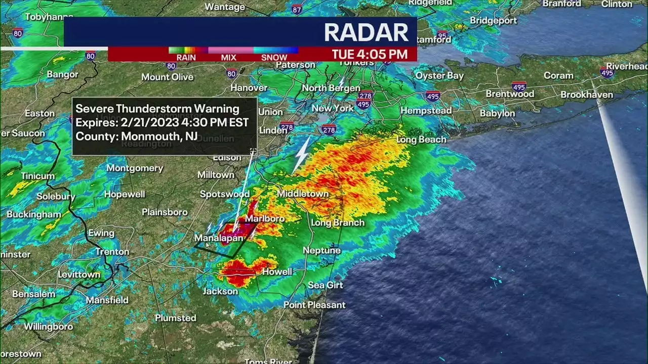 Possible tornadoes reported in New JerseyA Tornado Warning was posted for Middlesex County and Monmouth County in New Jersey.
Read more »
 Suspect in custody after barricading himself inside home in west Harris County, HCSO saysA suspect wanted for kidnapping a woman who later barricaded himself inside a west Harris County home is in custody, Harris County Sheriff’s Office deputies said Monday.
Read more »
 200 Harris County veterans, young adults can get free training for tech jobsHarris County Commissioners approved funding for a program called NPower for two years. It provides free IT and tech training for veterans and young adults from underserved communities.
Read more »
 Harris County officials consider paying staff to assist with electionsOne expert says the incentive will be a test to see if additional workers will reduce lines, make things operate more seamlessly, and ensure every site has paper.
Read more »