Rich history to 200 caves – from housing a secret printing press to widow’s shelter – as steps taken to protect the ‘sacred’ sites
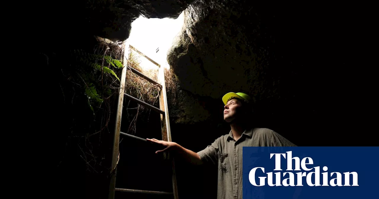
Student Jaxon Ingold inside a lava cave in Auckland. Roughly 200 caves, formed by volcanic eruptions, lie beneath New Zealand’s largest city.Student Jaxon Ingold inside a lava cave in Auckland. Roughly 200 caves, formed by volcanic eruptions, lie beneath New Zealand’s largest city.
The cave is 106 metres long and five metres at its highest point. Part way in, the tunnel, which was formed when Mount Eden erupted 28,000 years ago, narrows and then opens into what Jacob calls “the ballroom” – a lofty area shimmering with golden minerals. Now, researchers are on a mission to map Auckland’s caves for the first time, in an effort to protect the geological marvels and better understand their cultural significance.Over the centuries, the caves have been used in all sorts of ways by the residents of Auckland. In 1877, a widow took shelter in a small cave and became known as the hermit of St Anns. In 1940, a group of schoolboys exploring a cave stumbled across a covert communist printing press.
Several are hidden under Ambury regional park – a sweep of land fanning out from Māngere mountain, which erupted 70,0000 years ago.Kate Lewis, Auckland council’s geoheritage and natural features expert, dons a yellow hard hat, bunches her shoulders inwards and descends an eight-rung ladder into the ground.
“It would be like going into where Queen Elizabeth and Prince Philip are buried and raiding their graves,” Tapuke says.