
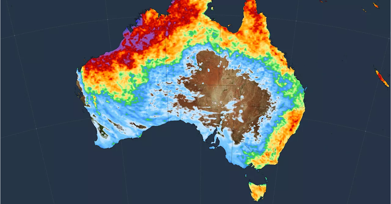
Sydney experienced a powerful southerly buster with wind speeds reaching 80km/h at the airport and 83km/h across the harbour. Experts believe the winds accelerate near Nowra and Ulladulla due to the coastal topography and the temperature gradient between the cool southerly winds and the hot air ahead.
Southerly buster expert Dr Milton Speer from the University of Technology Sydney said the maximum gust at Sydney Airport just hit 80km/h, while an 83km/h wind swept across the harbour.Those wind speed s mean this one’s a “severe” southerly buster .Speer said southerly buster s are known to accelerate around Nowra and Ulladulla as they hurtle towards Sydney , possibly because the topography of that part of the coast narrows the dome of air rushing up from the south.
It could also be that at the time a buster reaches Nowra, the heat of the day has peaked. The temperature of the gradient between the cool southerly winds and the hot air ahead of them is what partly fans a buster’s speed.
Southerly Buster Wind Speed Climate Change Sydney Nowra
Australia Latest News, Australia Headlines
Similar News:You can also read news stories similar to this one that we have collected from other news sources.
 Sydney braces for 40C at lunchtime before southerly buster brings severe stormsHeatwave to bake NSW capital before cool change delivers risk of severe thunderstorms, hail and strong winds
Read more »
 Temperatures plunge as southerly buster hits SydneySydney has sweltered through a hotter than average January day before 90km/h winds brought much-needed relief.
Read more »
 Southerly buster to drastically drop temperatures and bring extreme windsResidents in parts of New South Wales can look forward to some relief from the scorching heat on Wednesday with a southerly buster likely to come into effect in the afternoon bringing with it extreme winds and the chance of severe thunderstorms.
Read more »
 Sydney weather LIVE updates: Severe weather warning issued as southerly buster rolls in; temperatures drop 10 degrees in 15 minutesSydney is sweltering under a heatwave as people return to work following the long weekend, with potential damaging thunderstorms due this afternoon and evening. Follow rolling updates.
Read more »
 Severe Storms Expected for Sydney and East Coast CitiesThe Bureau of Meteorology predicts a storm system for Sydney tomorrow, accompanied by continuous rain until next Monday. This follows a weekend of heavy rainfall across the eastern seaboard, with some areas recording 100mm of precipitation. While the weekend's rain was caused by troughs associated with low-pressure systems, the upcoming storms will be influenced by steering winds at high altitudes. These winds are expected to increase in strength this week, leading to more intense storms as a new trough moves through the region. Weatherzone forecasts the most dangerous period for storms to be between Wednesday afternoon and Thursday morning, affecting Sydney, Melbourne, and Canberra.
Read more »
 Sydney hit by severe electric storm, causing flooding and transport chaosTown Hall station flooded, roads blocked and gusts hit 120kmh; one man killed in Cowra after a tree struck his car
Read more »